3D site with topography
Enter block and plot; real terrain levels, neighbouring parcels and surrounding buildings are set up in the scene automatically.
Multi-parcelParcel mergerLevel basement

Parametric design studio
ArkiFit Studio is a design studio that works on real terrain and real zoning conditions. The moment you shape the massing, floor area, parking, floor plans, sections and facades update themselves.
Scenarios
Scenario AE 0.82Scenario BE 0.95Scenario CE 0.88Layers
ParcelBuilt formRoadsNeighbouring buildingsLandscapeWhat it does
Every step from analysis to presentation happens on the same stage. The tools are not disconnected; each decision updates the other layers instantly.
Enter block and plot; real terrain levels, neighbouring parcels and surrounding buildings are set up in the scene automatically.
As you shape the massing, the floor area used, the rights remaining and the setbacks are computed instantly.
The plan engine places the unit mix and positions the core by escape distance; you refine it in the 2D editor.
The engine fills parking bays into the area you draw; the landscape programme and pedestrian circulation sit on the terrain.
Sun path and shadow animation by hour and season; rooftop solar potential is computed in kWp.
Photorealistic AI rendering and a slide-based presentation editor; the output leaves in one click.
Process
Enter block and plot; the 3D scene is ready in seconds with terrain, surrounding buildings and zoning conditions.
Start from a typology or draw freely; floor area and parking demand update instantly.
Compare scenarios side by side with sun, cost and efficiency analyses, and pick the best.
Floor plans, sections, elevations and sheets are generated; export them with the slide deck in one click.
Generative backbone
Studio is not a drawing tool, it is a production line. You make the decisions; the engines produce the plan, the section, the facade and the parking together with their rules.
Resolves the building setback line, aligns the massing to the road frontage and derives scenarios from 24 typologies.
Places the unit mix, positions the core by escape distance and measures efficiency.
Analytical sections with hidden-line removal; openings, stairs and basements produced as vectors.
Three independent axes — base system, cladding and shading — applied to elevations and the 3D model at once.
Computes the code requirement and places parking bays and basement levels into the area you draw.
Extracts constraint layers, builds pedestrian circulation and places programme areas against feasibility.
Outputs
Everything you see on screen becomes a document: from technical drawings to the decision file, all with their source and their dimensions.
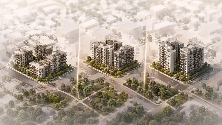 Scenario comparisonAlternative massings and layouts, side by side with their metrics.
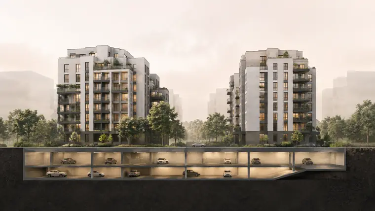 Sections and elevationsScaled and vector-based; technical drawings ready for the sheet.
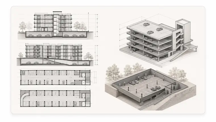 Parking and technicalDemand, capacity and the basement solution in one report.
 Decision fileFeasibility, quantities and presentation in one package.
Get started
Start with the free parcel report; when you are ready, that same parcel opens in Studio as a 3D scene with its real terrain and surroundings.
ArkiFit Pro · Studio and Radar together